History
Etymology
Reclamation of Brading Haven
Maps
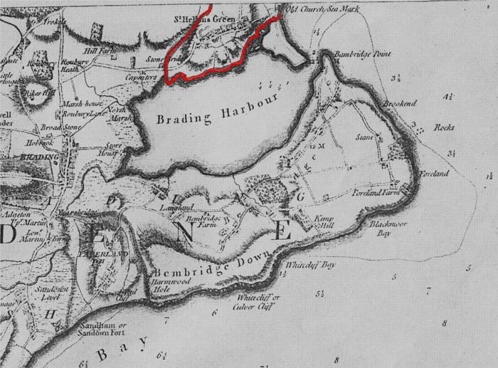
John Andrews Map, 1769.
Red line marks the boundary line between St. Helen's and Brading parishes, as delineated on the Andrews map. St. Helen's parish is the small area encircled by the line at the top of the map.